
Find Mason County's Nearby Parcels
A Mason County neighbor lookup begins with one parcel you already know. Open the WV Property Viewer, find that subject parcel, and work outward. The map supports point, rectangle, and polygon selections, plus a buffer around a chosen spot. There is no single adjacent-parcels button. You draw the area instead, then write down each parcel ID and pull its owner field and mailing address from the assessor result.
Three sources cover a block, and each stops somewhere different. GIS shows the shapes. The assessor shows parcel attributes. A recorded plat shows the filed lots. None of them tells you who occupies a building. A neighbor search works best for boundary context, easements, road access, and civic research, never for targeting people.
| Source | What It Shows About a Block | Access |
|---|---|---|
| WV Property Viewer | Parcel outlines and geometry around a selected point | Free map; buffer and shape selection, up to 1,000 results |
| Mason assessor IAS | Owner, mailing address, parcel ID, legal description, appraisal fields | Search by street, owner, or parcel; county assessor corrects data |
| County Clerk plat and deeds | Recorded lot layout, easements, legal descriptions, and changes | Record Room; public web deed index not located |
| Municipal records | Street, utility, permit, or boundary records when held | Ask the city or town clerk; no city permit portal located |
One caution first. The assessor's owner field is not a resident list. A viewer summary may show a single owner while the deed records several. Keep the lookup anchored to parcel facts. Do not read anyone's routines, household, or presence out of a map result.
The WV Property Viewer supplies the countywide map and the parcel selection tools this block search depends on.
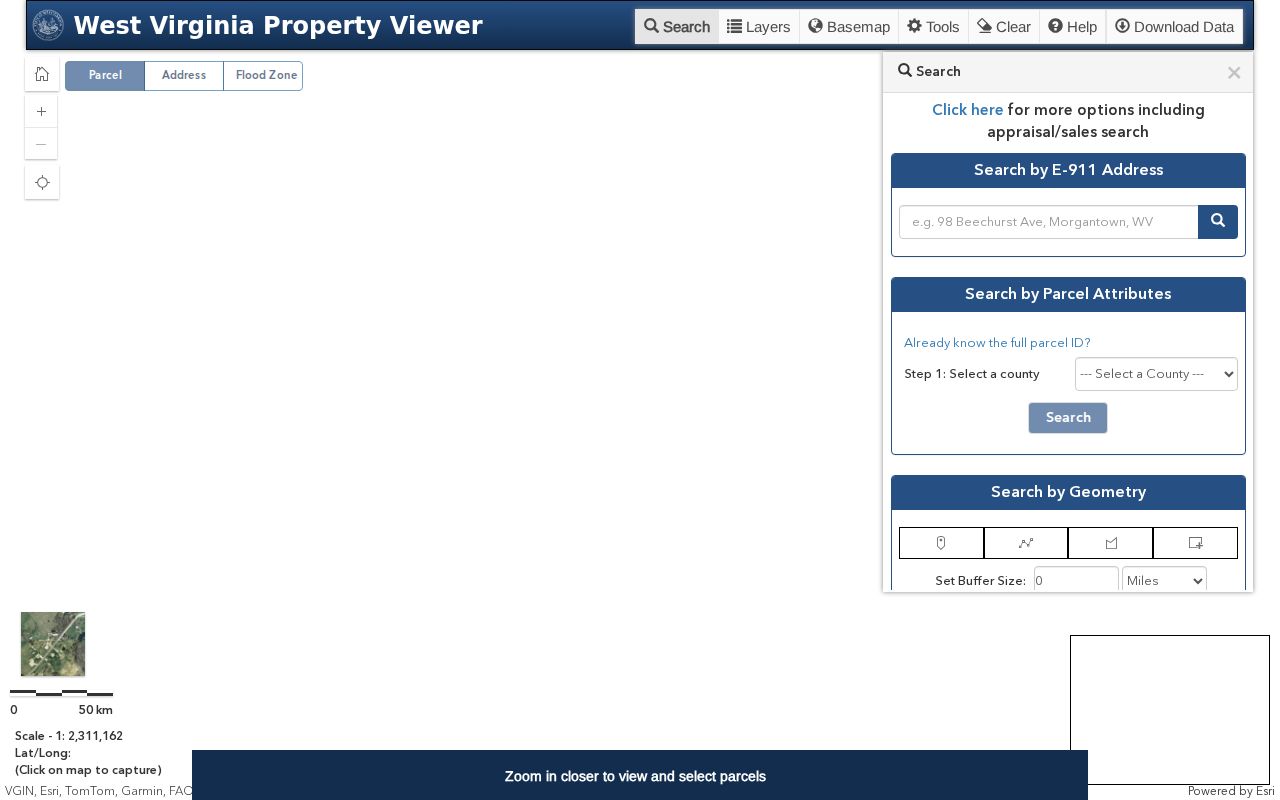
Pick your subject parcel first. Widen the map just enough to catch the lots touching it.
Mason County Buffer and Parcel Search
Start narrow. Search the subject parcel before anything block-wide. A point selection can pin down an address location. A rectangle or polygon covers a street face, and a buffer grabs everything around a spot. Confirm the exact control labels in the live viewer. The geometry functions are documented. But a one-click adjacent-parcel command is not part of the toolset.
Once parcels are selected, record each full parcel ID. Open the detail card for its owner and address fields. If a selection returns more than 1,000 rows, shrink the area before exporting. A CSV export helps you organize the results. Yet it is still just a working list, not a certified record or a complete title report.
- Search the subject address with E-911, or use IAS by street name when the address string fails.
- Zoom until the subject boundary is selectable, then note its parcel ID and map scale.
- Apply a point, rectangle, polygon, or buffer that reaches only the relevant nearby land.
- Copy each selected parcel ID and check owner and mailing fields in the assessor result.
- Compare the plat and recorded descriptions if a shared edge or access right matters.
- Adjacent parcel
- A neighboring tax parcel selected around the subject; it is not automatically a legal abutter.
- Buffer
- A map selection area around a point or shape.
- Plat
- A recorded drawing of lots held by the County Clerk.
- Abutting
- Sharing a boundary as shown by the controlling description, not merely appearing close on screen.
Mason County Owner Rows
Owner rows can mislead if you take them at face value. The viewer's result list shows one owner name. The detailed parcel card may list several. Treat each row as a prompt. Open the card and compare it against the assessor and the deed. Search every adjacent parcel on its own. A shared surname does not mean shared title. One visible name is rarely the whole grantee picture.
The sample parcel detail shows how the map ties things together. It pairs a parcel number, physical address, and assessor data. When ownership or a boundary needs proof, carry those fields into a County Clerk request.
The image offers one parcel as an example; run the same check on every mapped lot around your subject.
Mason County Street-Level Checks
For a row of homes, the assessor's IAS Street Name field can return every parcel along a street. This helps when the individual address numbers are unclear. The search form also filters by district, map, parcel, or mailing address. Check results against the geometry. A street can cross a tax district or a municipal line. Address labels are not always complete.
Point Pleasant, New Haven, and Mason are distinct incorporated places. The county publishes no official city annexation map or ZIP crosswalk. So treat place names loosely. A mailing city, a tax district, an E-911 zone, and a community boundary are four different things. If a neighboring parcel's municipal status matters, ask the town for its current boundary ordinance. Keep the county parcel ID attached to your notes.
Mason County Platted Neighbors
A plat often names lots, blocks, roads, and easements. GIS geometry alone will not show these. Ask the Clerk's Record Room for the filed plat. Also ask about any later vacation, split, or combination. The County Clerk publishes no online deed index. So arrive ready with the parcel ID, owner name, map reference, and any book and page numbers from IAS.
The state clearinghouse tax maps can help you find district and map references. But they never replace the recorded plat or deed. The Assessor also flags a reproduction notice on the tax-map files. Treat the map as a lead. Verify the legal facts with the custodian who holds them.
Mason County Boundary Questions
Boundary questions often start small. A fence or ditch raises doubt. The Mason County GIS viewer shows which parcels touch each other. But a screen cannot settle a real dispute. The recorded deed and plat carry more weight. They reveal easements and other recorded rights. When a line is contested, a licensed surveyor and the legal descriptions are the proper tools. For owner lookups, keep the search tied to a genuine property matter, since West Virginia law and address-confidentiality rules can restrict protected information. A public result never proves occupancy, so keep the work focused on land, records, and civic questions.
Map a Mason County Block
Mapping a Mason County block works best one lot at a time. Zoom in on a parcel you already know. Then select the shapes around it. A map defines the block fast. When rural addresses or labels are hard to read, the assessor street-name search serves as a check, and the deed and plat remain the records for a shared line or easement.
- Locate the subject address in the WV Property Viewer and save the parcel ID.
- Select the bordering shapes with point, rectangle, polygon, or buffer geometry.
- Open each parcel detail and copy its owner, mailing address, situs, and legal description.
- Use the County Clerk plat or deed when the question involves a shared boundary or access.
- Parcel ID
- The district-map-parcel-suffix key used in assessor and map records.
- Adjacent parcel
- A parcel selected near the subject; confirm actual boundary contact in the legal record.
- Buffer
- A GIS area around a selected point or shape.
- Mailing address
- The owner-contact field, not a residence or situs claim.
Mason County results can mix ownership types and address geographies. Save the parcel number with each name. That keeps the block tied to land, not to a person.
Limits of a Mason County Neighbor Search
A Mason County neighbor search finds tax parcels. It shows record owners, not residents. One map row can even hide joint ownership. The viewer's owner, tax, and boundary layers are public-record tools with limits. Confirm the owner of record in the deed, and ask the right custodian about anything that may be protected.
Lawful use. Use nearby parcel records for boundaries, easements, property diligence, or civic research. Do not use owner names or addresses to watch, harass, threaten, or target anyone.
A line dispute needs more than a map. Ask the County Clerk for the deed or plat. Consult a licensed surveyor from there, and treat the GIS map as the start of the request, not the answer.