
Search Point Pleasant Property Records
Every Point Pleasant parcel search should begin at the Mason County assessor. The WV Property Viewer works as a second starting point. A numbered downtown address can be tested through E-911. A failed match usually means searching the street name in IAS instead. Copy the district-map-parcel-suffix ID. Then compare the physical address, the mailing address, and the legal description against each other. There is no separate city deed or assessor system. Point Pleasant property records are Mason County records, full stop. The municipality may hold permit or street files. Nothing there replaces the County Clerk's conveyance record for questions of title and ownership.
- Search the Point Pleasant situs address in E-911, then try the street name in IAS if the first result is empty.
- Record the parcel ID, owner, mailing address, deed reference, and legal description.
- Ask the County Clerk about the deed or plat and the Assessor about the parcel fields.
- Use the Tax Office for the bill and WV Property Viewer for map context.
- Request permit or zoning history from the city office by address and date range; no searchable permit portal was located.
The countywide Mason County property search page explains each portal field, and the parcel map page covers what the GIS viewer can and cannot show. Either one works as a process reference. Just keep this city's boundary quirks and river setting in mind while you work.
Where Point Pleasant Records Live
For Point Pleasant lots, recorded deeds and plats are held in the Mason County Clerk's Record Room. The County Assessor's IAS record carries parcel ownership and valuation attributes, and the county Tax Office answers questions about tax bills and delinquency. The WV Property Viewer adds parcel geometry and reference layers. These custodians serve the whole county.
City hall is a separate route. The municipal clerk or the right local official can field questions about ordinances, street acceptance, utility service, permits, zoning, or address changes. Point Pleasant publishes no online permit lookup, so an empty web search proves nothing about whether a permit exists. Call or visit instead.
Mason County Parcel Records
The County Clerk, Assessor, and Tax Office hold the main land and tax files used for Point Pleasant property research.
Point Pleasant Permits
Ask the municipal office for permit, zoning, street, and utility records by address.
Point Pleasant, West Virginia
Ohio and Kanawha River Parcels
Point Pleasant stands where the Ohio and Kanawha rivers meet. That geography makes map context genuinely useful in a parcel search. The Viewer's flood zones, streams, community boundaries, and road layers help a reader picture a location. The state labels them reference information. A flood layer is not an insurance determination. A parcel line drawn at a river edge does not settle the deed boundary. Nor does it settle riparian rights.
For any riverfront parcel, save the GIS ID and the map scale. Then request the deed and recorded plat from the County Clerk. Compare the legal description, acreage, easements, and any right-of-way instruments against the map. Elevation questions or a line on the ground call for a licensed surveyor. The river setting adds context, never a shortcut past the document check.
One map view at the confluence can show frontage, streets, flood zones, and community context together. But each layer answers a different question. Treat the flood-zone result as a location clue. Treat the tax district as billing geography. Treat the deed or plat as the written land description that governs. When a river edge or old roadway is named in the deed, copy that language exactly into your request. Do not swap in a modern street label.
Point Pleasant's City Boundary
Point Pleasant was incorporated in 1833, according to the local history source. Its county-seat role makes the courthouse the region's records hub. Yet a Point Pleasant postal address can reach past the current incorporated boundary. ZIP 25550 is a delivery area, not a city-limit test. Keep the address, parcel ID, tax district, and municipal status as separate fields.
The city publishes no complete annexation history or boundary ordinance online. For an edge property, ask city officials for current limits, accepted streets, and any annexation or address-change records. Ask the County Clerk for a recorded boundary or plat instrument. The GIS community-boundary layer works for orientation only. It holds no official weight until an ordinance or official map confirms the line. The local Mason County history page supplies the town-history context behind the incorporation date.
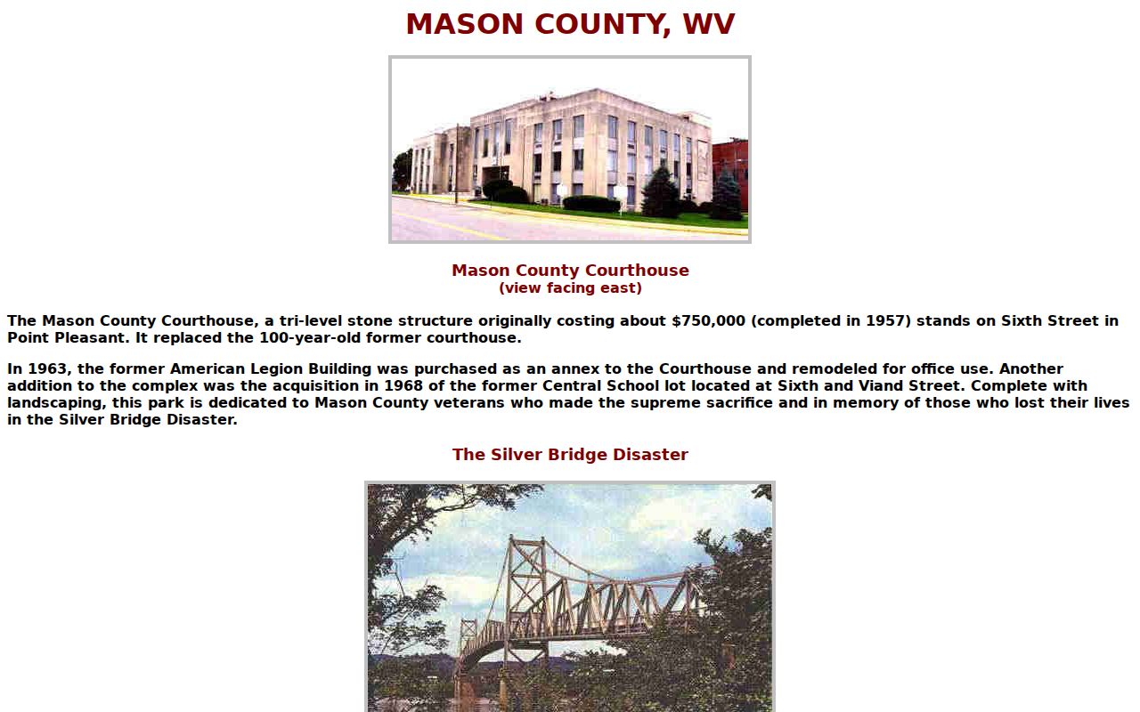
History pages set the scene, but a current boundary question still demands an official map, an ordinance, or a municipal record.
Point Pleasant Parcel Numbers
Point Pleasant follows the statewide West Virginia parcel format used across Mason County: a two-digit district, then map, parcel, and suffix segments of four digits each. The city has no separate parcel prefix of its own. Downtown addresses share nothing special. So search Mason County first and trust the full ID that returns. A short street address is never a stand-in for the complete number. Keep every leading zero. Write the segments in their proper order. The county record settles any question about a specific Point Pleasant block.
Watch for mismatches between the assessor address field and E-911 data. Incomplete street files can pull the two apart. An older deed with a different lot description can do the same. Save both the full parcel ID and the legal description whenever you pull a record. If the entry lists a block or plat name, ask the County Clerk. The Clerk can confirm whether a later vacation or re-subdivision renumbered the lots. That one question clears up most confusion.
Point Pleasant Lots in the Records
The city publishes no subdivision roster and no online plat-book index. Treat any downtown block or river frontage as a research area. Do not treat it as a verified subdivision. Confirm the plat name with the County Clerk before relying on it. That habit keeps an informal local label from standing in for the legal description.
| Neighborhood / Subdivision | Era | In the Records |
|---|---|---|
| Courthouse and downtown blocks | Historic plat year not verified | Check lot-and-block calls in Clerk deed and plat books. |
| Ohio and Kanawha river frontage | Filing dates vary; no roster located | Inspect legal description, easements, and recorded plat. |
| North and outer city edge | Specific subdivisions unverified | Compare city boundary, mailing place, and active parcel ID. |
Start in the Clerk's record room with an exact plat name or lot number. Then compare what you find against the current district-map-parcel-suffix ID. The Mason County parcel maps page explains how the viewer can orient the search. It does not replace the recorded plat.
Good targets include courthouse and downtown blocks. Ohio or Kanawha river frontage also works, as do residential streets west or south of the courthouse. Outlying parcels with a Point Pleasant mailing address are worth checking too. These are search areas, not recorded subdivision names. When the Clerk locates a plat, note its title, filing date, book and page. Also record the lot and block call, current parcel ID, and any later vacation or re-subdivision. The community-boundary layer can show city context. But only a recorded plat explains a lot merger.
Point Pleasant Permit Requests
Point Pleasant offers no online permit or zoning lookup. Ask the municipal office directly about building permits, zoning decisions, code matters, utility connections, street acceptance, or address changes. Give the property address and a date range. Include the parcel ID and the type of work if you know it. Ask whether the city, the county, or a regional code official holds the file.
A permit request can supply building-history detail that an assessor card lacks. A deed documents ownership and easements instead. Each record answers a different question. If the office finds nothing, ask whether no responsive record exists or whether another custodian is responsible. A blank web search alone proves neither.
Point Pleasant Value Checks
Mason County publishes no Point Pleasant-wide revaluation percentage or neighborhood value trend. A careful comparison needs a defined parcel group. Downtown lots, river-edge land, and residential-edge properties differ in use and size, so keep them separate. For each property, record the assessment year, land appraisal, building appraisal, total appraisal, deeded and calculated acres, and the reported sale date and price.
The 2020 Census lists Point Pleasant at 4,070 residents. That figure is a place roster fact, not evidence of price growth. Check the recorded deed for its consideration and legal description. Treat each parcel as one observation rather than a market report. River proximity or county-seat status proves no value on its own. The Census incorporated-place table supplies the Point Pleasant count alongside other county places.
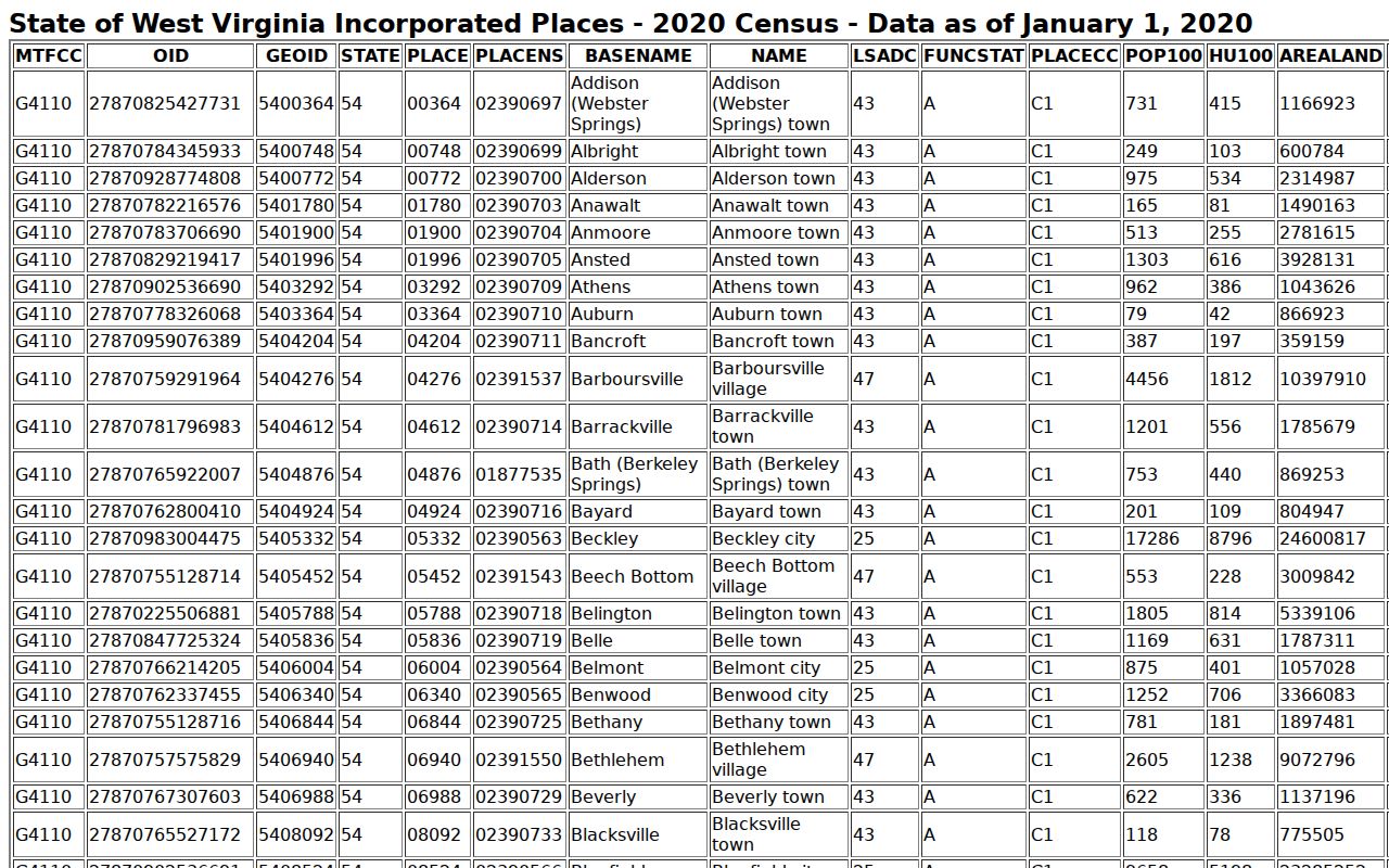
The Census count describes the incorporated place only. For a property's location, rely on a parcel map and the official boundary record instead.
Limits of Point Pleasant Records
Point Pleasant property records can show the assessor's owner and value fields, county deeds and liens, parcel geometry, and separate municipal files when they exist. They cannot prove occupancy. They cannot certify a clean title, a surveyed boundary, or a market price either. For an address at the river or municipal edge, match the record to the issue. Check the deed, the map, or the city file that answers your actual question.
Lawful use. Use Point Pleasant property records for ownership research, property diligence, house history, and civic questions. Do not use owner names or addresses to stalk, threaten, harass, or harm anyone.