
Search Mason County Property Records
These records live in linked systems. The statewide assessment search finds a Mason County parcel by owner, street, district, or map. It also accepts a full parcel ID. The property viewer adds map geometry and reference layers. The County Clerk is the recorder. The Record Room holds deeds, liens, plats, releases, and probate instruments. The Tax Office answers billing and delinquency questions instead. Start with the parcel if you have an address. The parcel number opens every other record.
A book and page citation goes straight to the Clerk. The records do not all describe the same event. The assessor's owner field is a tax-roll name, not necessarily today's deed party. A deed names the parties to a recorded conveyance. The map draws parcel geometry, and the bill tracks the tax account. Search Mason County property records by parcel number. Then confirm each point with the office that keeps the source.
- Search a precise street address or street name in the assessor tools and copy the parcel ID.
- Read the Owner, mailing, physical address, acreage, and deed-reference fields.
- Ask the County Clerk for the latest deed, prior reference, plat, lien, or release.
- Call the Tax Office about a current bill or delinquency; the map layer is only a lead.
- Use GIS geometry for orientation and request records that are not online from their custodian.
Mason County Record Offices
Point Pleasant is the county seat. The county's land, assessment, tax, and court offices converge at the courthouse. The County Clerk is the recorder. That office's Record Room holds the deeds and other instruments. The Assessor explains parcel and value data. The Tax Office handles bills and payments. Three offices can share one parcel ID yet answer three different questions.
Mason County Clerk
200 Sixth Street, Suite 7
Point Pleasant, WV 25550
304-675-1997
Mason County Tax Office
Mason County Courthouse
Point Pleasant, WV
304-675-1047
Keep the source and date beside every result. An assessment card identifies the parcel and its taxable attributes. A deed documents a recorded transfer. A bill check confirms the account status. A GIS layer helps orient the land. When two sources disagree, use the record's own reference field and ask its custodian to explain.
For a deed copy, know what you need first. Inspection, an uncertified copy, and a certified copy are different requests, and copy charges should be confirmed with the office directly. Recording a new deed by mail is a separate process requiring the Sales Listing Form. Never send an original when the task is only to locate an existing instrument.
Mason County Parcel Search Fields
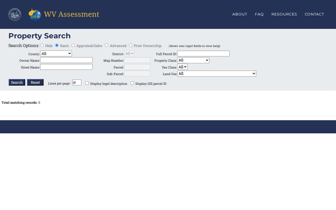
The statewide assessment search offers four modes. Basic covers county, district, full parcel ID, owner, map, parcel, sub-parcel, street, property class, tax class, and land use. The appraisal mode adds acreage, sale price, sale-date ranges, and appraisal figures. Advanced search goes further. It includes mailing address, deed book and page, legal description, flood hazard, building year, area, and structure counts.
Partial owner names work. Search last name first, the viewer's help says. Street Name helps when IAS addresses run incomplete. Grab the full parcel ID from any result, since it carries the search into the map and the Clerk's book and page reference.
| Assessment form field | Type / mode | Search use |
|---|---|---|
| County | Dropdown | Select Mason. |
| District | Dropdown or text | Narrow by tax district. |
| Full Parcel ID | Text | Enter the complete identifier; retain zeroes. |
| Owner Name | Text | Partial last-name-first search. |
| Map Number, Parcel, Sub-Parcel | Text | Search parcel components separately. |
| Street Name | Text | Fallback for incomplete IAS address entries. |
| Property Class, Tax Class, Land Use | Dropdowns | Optional county-specific filters. |
| Min/Max Land Appr | Numeric | Appraisal/Sales field. |
| Min/Max Building Appr | Numeric | Appraisal/Sales field. |
| Min/Max Total Appr | Numeric | Appraisal/Sales field. |
| Min/Max Calculated Acres | Numeric | Assessor acreage filter. |
| Min/Max Price | Numeric | Reported sale-price filter. |
| Min/Max Deeded Acres | Numeric | Acreage attributed to deed data. |
| Sale From / Sale Through | Dates | Filter reported sale dates. |
| Flood Hazard | Dropdown | Advanced filter. |
| Mailing Address | Text | Owner correspondence, not parcel location. |
| Deed Book and Page | Text fields | Cross-reference to a County Clerk record. |
| Legal Description | Text | Search written land description. |
| Building Year Min/Max | Numeric | Improvement-age filter. |
| Primary Structures Min/Max | Numeric | Structure-count filter. |
| Building Area Min/Max | Numeric | Improvement-area filter. |
| Secondary Structures Min/Max | Numeric | Accessory-structure filter. |
| Lines per page | Numeric or dropdown | Result display control. |
| Display legal description / GIS parcel ID | Checkboxes | Add selected identifiers to results. |
| Basic / Appraisal-Sales / Advanced / Prior Ownership | Mode tabs | Select fields for the question; prior-history depth is unverified. |
| Hide / Search / Reset | Controls | Show, submit, or clear the query. |
Address search: use E-911 for a complete situs address; switch to IAS street-name search if the address string is incomplete.
Owner search: begin with a surname or entity name, then add a district, street, or map component to narrow matches.
Parcel-ID search: use the full district-map-parcel-suffix ID when available to connect the card to the map and deed reference.
The WV Assessment Search form shows the fields that Mason County users can query.
A visible form field is not proof. Results can lack full history. The WV assessment landing page opens the statewide county search service.
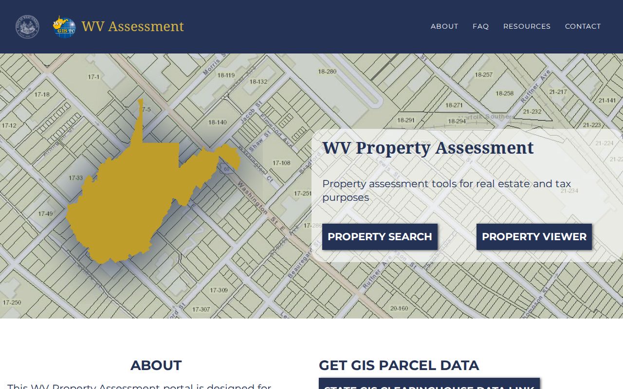
Pick Mason County, choose a search mode, then filter parcels with the detailed parcel fields.
Mason County Deeds Since 1804
The Clerk's own page lists four record starts for the county. Deeds begin in 1804. Marriages in 1806. Fiduciary files begin in 1840, and births and deaths in 1853. Those years describe what the county holds in its books. They do not promise that the same span is indexed online. The recorder publishes no public grantor-grantee web index with an earliest year.
A second courthouse stands on the square today, finished in 1956. A WV Judiciary account adds a detail. Its sandstone exterior still bears an impression of the first courthouse. No record of a courthouse fire or a lost decade of deed records appears in county history. Any gap in a chain of title should be traced through the Clerk's deed books, probate files, and court instruments rather than blamed on an assumed disaster. The local County Clerk records page states the date ranges.
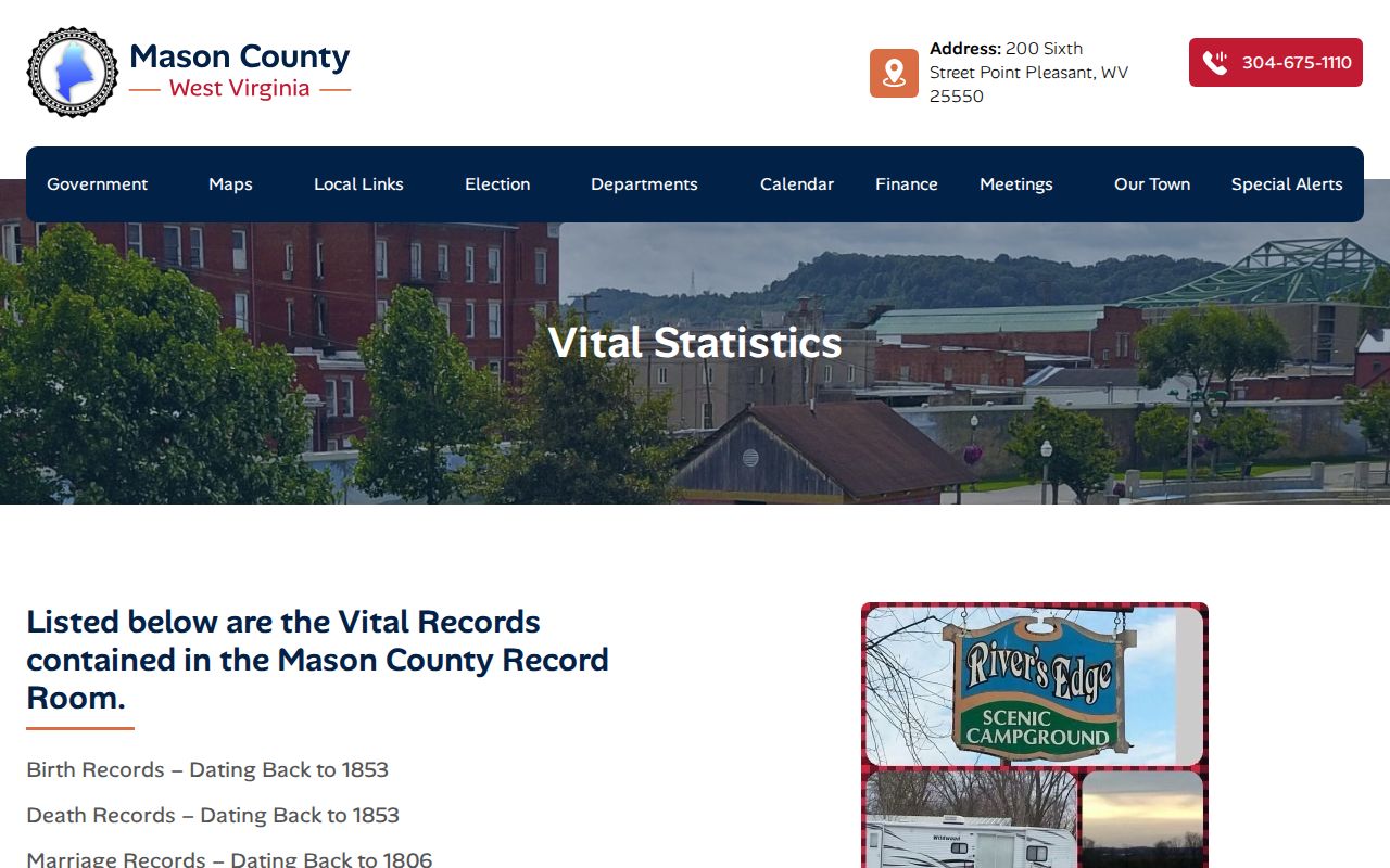
Treat these dates as a boundary. Ask staff about the books for your record. The West Virginia Judiciary Mason County page identifies the courthouse and local court system.
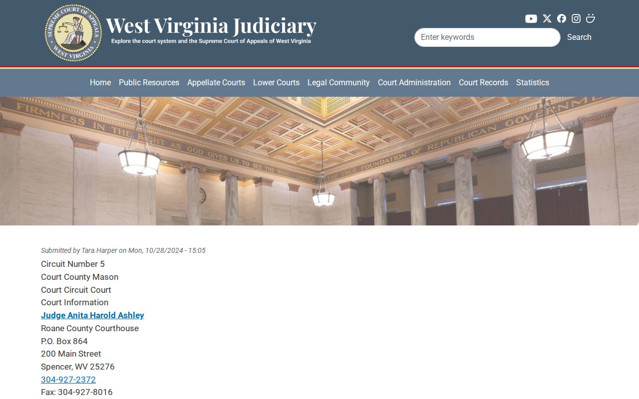
The courthouse reference helps you get oriented. A title-chain gap still needs an instrument or index explanation from the Clerk.
Mason County's Address Search Split
West Virginia's E-911 mode expects one exact physical address. It rejects rural routes and PO boxes. The IAS Property Address field is more forgiving and tolerates partial entries. The viewer help recommends a street-name search whenever an exact address returns nothing. That distinction matters in Mason County. A town name, rural route, mailing city, and situs location can each point to a different corner of the same record.
Keep the physical address and the owner's mailing address in separate notes. A Point Pleasant or Mason postal label never proves the parcel sits inside that town. When an address match fails, search by owner or street instead. Then use the parcel ID and legal description to confirm the match.
Mason County Parcel ID Structure
A West Virginia parcel number runs four segments. Two digits for the district, then four each for map, parcel, and suffix. Leading zeros count. Keep them. The assessor form accepts the complete ID or its individual pieces. The GIS detail view uses the same tax-map key. A historic Waggener district mention is not a modern prefix. Neither is a town lot label.
Ask the Assessor how an old map reference ties to the current record. Keep both versions in any deed request. For a lot and block, check the County Clerk's recorded plat. It can bridge an older description and the modern parcel.
Types of Mason County Property Records
Mason County property records span several record types. A deed records the instrument behind a transfer. An assessor record describes the taxable parcel. A tax bill reports one account, while a map or plat supplies the geographic context, and liens, plats, and local permits round out the set. City and town offices can add permits or street history, but the county publishes no city permit lookup.
| Record Type | What It Documents | Kept By | Access |
|---|---|---|---|
| Deeds and land instruments | Conveyances, liens, releases, easements, plats | Mason County Clerk | Record Room; ask about index and copy access |
| Assessor parcel record | Owner, address, appraisal, acreage, class, sale fields | Mason County Assessor / WV IAS | Free online search; corrections through Assessor |
| Tax account | Bill, payment, delinquency, sale questions | Mason County Tax Office | Phone or courthouse; public bill-result portal not located |
| Parcel and tax maps | Parcel geometry, tax district, reference layers | WV Property Viewer and GIS archive | Free viewer and map PDFs; not a survey |
| Municipal files | Ordinances, streets, utility, permits if held | City or town custodian | Direct request; no permit portal located |
For deeds, start with the Mason County deed records resource. For taxes, use the property tax records page. The county property viewer and the Clerk's own pages remain the official routes.
Mason County Map Layers
The WV Property Viewer stacks a lot onto one map: parcels, tax districts, address labels, delinquent properties, flood zones, contours, community boundaries, USGS quadrangles, streams, place names, highway routes, and survey marks. Selection tools are flexible. A point, rectangle, or polygon grabs geometry, and a buffer widens the catch around a location. Parcel lines draw at close zoom. Exports go to CSV, capped at a documented 1,000 rows.
The delinquent-land layer refreshes weekly. It lists no verified tax balance and no sale date. It can raise a question. Flood and community layers are reference context only. Corrections go to the Assessor, account status to the Tax Office, and a recorded plat or legal description to the Clerk.
The WV Property Viewer displays the map interface and parcel selection behind these Mason County lookups.
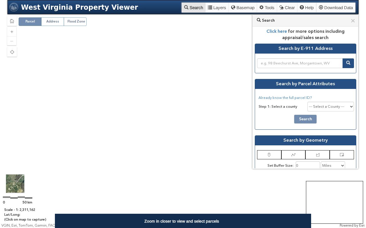
The image shows the statewide viewer for Mason parcels.
Mason County Tax Balance Checks
The Mason County Tax Office keeps the tax information. It publishes no separate public bill-result page. Call 304-675-1047 or visit the courthouse for the current amount due. Ask about payment status, delinquency, or a sale question. Assessed value, a reported sale price, and a bill balance answer three different questions.
The Property Viewer's delinquent layer can raise a question. It cannot say what is owed. Ask the Tax Office which year and parcel a figure covers. If a sale is involved, hunt the later trustee or sheriff instrument in the Clerk's Record Room. Check for any related court order there too.
The county Tax Office information page carries the local contact route.
Mason County Assessment Calendar
Mason County real property is assessed at market value annually. Assessor staff must visit every parcel at least once each three-year cycle. The work calendar calls for assessment and land and personal-property books by January 30. Board of Equalization and Review submission is due by February 1. Certification follows by March 3. These dates track the assessment cycle, not a deed-to-owner update interval.
For a value concern, compare the year, land, building, and total appraisal. Weigh acreage both deeded and calculated. Look at building area and year, land use, and reported sale fields. Call the Assessor. Ask for the current appeal calendar.
Mason County Records Requests
When a record is not posted online, go straight to the custodian. Give the parcel or street address. Include the record type, names, and a date range. West Virginia's Freedom of Information Act requires a response as soon as practicable. The limit is five days, excluding weekends and legal holidays. The custodian may charge actual reproduction costs but not search or retrieval labor.
That response rule does not guarantee instant production of old books or archived maps. Ask whether the record is open for inspection. Ask whether an electronic copy exists, and whether certification or a fee applies. Send the request to whichever office holds the file. That may be the County Clerk, Assessor, Tax Office, court clerk, or municipality.
Read the West Virginia FOIA statute and address the request to the actual records custodian.
Limits of Mason County Property Records
Mason County property records capture what each office has on file. The Assessor, Clerk, Tax Office, courts, and municipalities each keep their own entries, and the records only reflect those systems. A parcel on a GIS map shows location. A deed shows who holds an interest. A tax bill reflects one account, nothing more. No single document does everything. The records will not prove who lives in a house, settle an exact boundary, or guarantee a complete title chain, and they never set a sale price. Match each record to its purpose, and confirm anything that matters with the office that keeps it.
Lawful use. Public records may support property due diligence, house history, or civic research. Do not use owner information to stalk, harass, threaten, or harm anyone. A deed search is not a title opinion, and a GIS line is not a survey.