
Search New Haven Property Records
New Haven property records sit with Mason County, since no town recorder or assessor exists. Begin with a full E-911 address. If it fails, use Mason County IAS by street name. Copy the parcel ID in full. Then compare the owner of record, physical and mailing addresses, and legal description. The County Clerk can pull the deed or plat. Town Hall handles local files you may need.
- Search a numbered New Haven street address in E-911, or use IAS street-name search when it is incomplete.
- Record parcel ID, owner, mailing address, deed reference, acreage, and legal description.
- Ask the County Clerk for deed, plat, and easement records; no public deed index was located.
- Use the county Tax Office for bill status and the Viewer for map context.
- Request permit, street, utility, or zoning history from Town Hall by address and date range.
The Mason County property search explains every assessor field. A town name is not a parcel ID. Give the Clerk the parcel number when you ask for the controlling deed, not just a New Haven address.
New Haven's County and Town Files
Mason County splits the work. The County Clerk records deeds and plats, the Assessor maintains parcel and valuation data, and the Tax Office handles tax account questions. The WV Property Viewer draws the parcel geometry. Town Hall is the route to the charter, local ordinances, street acceptance, utilities, permits, and zoning material, where maintained. The county index profiles the main offices. This city page shows what changes when the address reads New Haven.
New Haven publishes no online permit or zoning database. Ask the town for the right custodian before you treat an empty web search as an answer.
Mason County Land Records
The County Clerk and Assessor handle New Haven deeds, plats, parcel IDs, and tax attributes.
New Haven Town Records
Request charter, street, utility, permit, or zoning files from the town's appropriate custodian.
New Haven, West Virginia
New Haven's Charter Trail
New Haven's charter has two homes. The West Virginia Blue Book places the original at the Mason County Courthouse, with copies at Town Hall. That gives town-history research two clear doors. The charter sets municipal context, though, and nothing more. It is not a parcel deed, and it will not mark a current property line.
Older deeds lean on town names. A bare lot description may appear too, so set that wording beside today's parcel card and the community-boundary layer. Ask the Town and County Clerk for any annexation, boundary adjustment, street acceptance, or plat-vacation instrument. No online annexation ordinance or boundary map is published. The Census incorporated-place table counted 1,476 New Haven residents in 2020, along with the other Mason County towns.
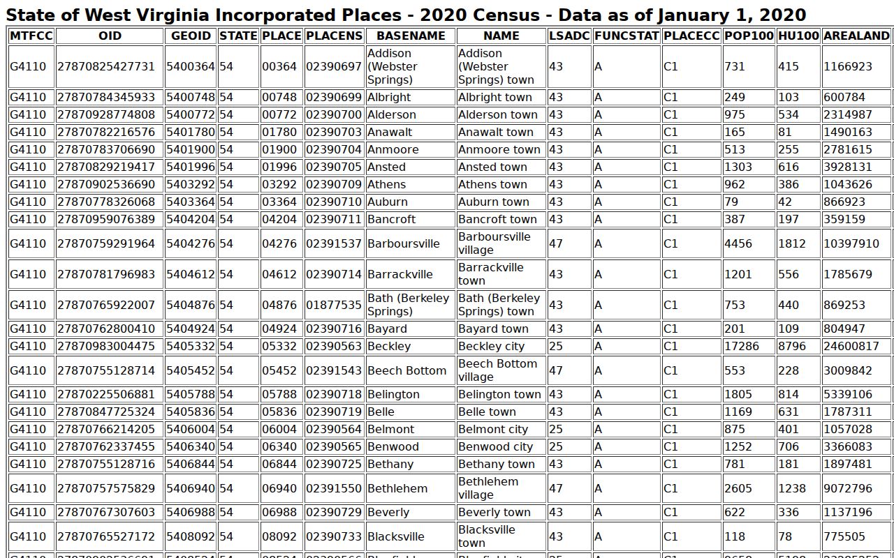
That count is roster trivia, not boundary proof for any single parcel.
New Haven River Lots
River commerce built New Haven. Its lots grew from that trade. Old industrial-frontage descriptions can still work as search clues in Mason County property records. No verified subdivision list comes with them. A river or industrial name stays a lead. It holds until the County Clerk's plat or deed uses those exact words. The local Mason County history page covers the river-town past.
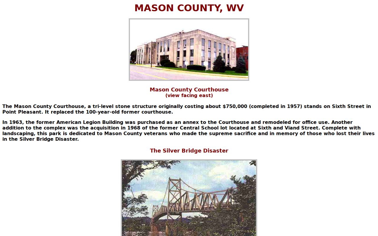
Use the history for a search term. Confirm the lot name in a plat or deed. River-adjacent parcels need extra care. Compare the legal description, any right of way, and the mapped reference layers before drawing conclusions. Flood zones and streams orient a location; they settle no title or insurance question. Older descriptions may lean on a road, a river, or an adjoining owner instead of a street number, so keep the original words when you ask the Clerk to search the deed records.
New Haven Address Geography
The Blue Book links New Haven to ZIP 25265 in its contact material. That code proves little. A ZIP can cross a municipal line. A PO box identifies no parcel. E-911 is the precise mode. It excludes rural routes and post office boxes. When the numbered address misses, use the IAS Street Name field and check the parcel ID on the result.
A New Haven mailing city can travel with a Mason County tax district, a county assessment record, and a town utility connection. None of that pins the border down. No official ZIP boundary map or annexation crosswalk exists. Ask the town for a current boundary map or ordinance when municipal status matters. For the parcel itself, trust the legal description.
Keep notes: record whether E-911 matched and what IAS returned for street name, map, parcel, and suffix. If both come up empty, try the owner of record or the old lot and river wording in the deed. A mailing place and a utility hookup are leads only, and neither one settles the municipal line, so request the current boundary record when that status affects your question.
New Haven Parcel Numbers
New Haven parcels follow the countywide West Virginia ID format. Two district digits come first. Map, parcel, and suffix parts add four digits each. The town publishes no separate map range. Start with the current ID the assessor returns. Then compare its map and legal description against any older lot, river, or industrial reference in the deed. The GIS community-boundary layer helps orient the town. The tax district marks a different geography. Don't guess a New Haven prefix from the town name. The Assessor or County Clerk can connect a historic map reference to a live parcel.
New Haven Plats and Town Lots
The town publishes no online subdivision roster or plat-book index. Treat any list of possible New Haven subdivisions as a starting point, not confirmation. The Clerk's books hold the answers. Wait for the filed plat before naming anything. A riverfront street or a town-center lot is not a subdivision until the plat itself supplies that name. The plat also gives the book and page.
| Neighborhood / Subdivision | Era | In the Records |
|---|---|---|
| Original town blocks and lots | Exact dates not verified | Request plat book/page and lot/block wording. |
| River or industrial frontage | Era varies by instrument | Compare easements, roads, and legal descriptions. |
| Town-center residential streets | No official roster located | Verify a recorded plat before assigning a subdivision name. |
| Rural edge using New Haven mail | Current boundary not confirmed | Check parcel ID, situs, and community-boundary layer. |
Search the exact lot or plat wording in the Clerk's books. Then carry the prior deed reference into your current parcel search. Use the Mason County parcel map reference to orient the map and boundary layers. Verify lot changes in the recorded plat. Separate original town blocks from river and industrial frontage. Keep older residential streets near the center distinct. Separate them from rural tracts that simply use New Haven for mail. For each candidate, record the plat name. Add the book and page. Note the lot and block. Include the original proprietor if stated. Note any later vacation or re-subdivision, plus the active assessor map number. A line or lot number may have changed over time. Preserve both descriptions when it has. The old deed reference can then link a retired parcel label. It connects to today's district-map-parcel-suffix ID in the Mason County property records system.
New Haven Permit Requests
New Haven offers no online permit or zoning database. Ask Town Hall which office holds each record type. That includes building permits, demolition and repair permits, flood or riverfront approvals, zoning decisions, utilities, and address changes. Have the street address ready, plus the parcel ID and a date range. If the town refers you to another custodian, keep that referral with your property file. The County Assessor handles current addresses and legal owners. The County Clerk handles conveyances, easements, and plats. A municipal file can describe a local approval. It cannot change the deed or establish title. An online search with no hit does not prove that no municipal record exists. Make any direct request specific. Include the street address, parcel ID when known, type of work, and date range. If a reply says the town does not maintain that category, ask which county or regional custodian might. For an existing public document, a West Virginia FOIA request can seek inspection or a copy. Name the record type and time period so the custodian can locate the responsive file.
New Haven Parcel Value Context
No New Haven-specific revaluation effect or value trend is published. Separate town-core lots, river and industrial parcels, and edge acreage before drawing any conclusion. For each parcel, note the assessment year. Also note the land and building appraisal, total appraisal, and deeded versus calculated acreage. Add structure fields, exemptions, and sale data before comparing parcels in the Mason County tax roll. The town's 2020 population figure describes the place, not its real estate market. A river location or an old lot description is not a value measure. Check the recorded deed for consideration. The assessor's market-value standard is one thing. What a property might actually fetch on the open market is another.
Limits of New Haven Records
New Haven property records carry county-held ownership and assessment data. Deeds, plats, and municipal files are kept by the town itself. They have limits, though. A parcel record cannot prove anyone actually occupies the land. A line on a GIS map is not a survey. An assessor's appraisal is never a sale price. River-town history can round out the story of a property. But only the current legal description governs what a deed or parcel number actually conveys.
Lawful use. Use New Haven property records for land research, due diligence, house history, or civic questions. Do not use owner names or addresses to track, threaten, harass, or harm anyone.