
Read the Mason County Parcel Map
The WV Property Viewer serves as the main GIS map for Mason County parcels. Zoom in and property outlines appear. Select a tract and the viewer can pair it with tax districts, address labels, flood zones, contours, community boundaries, roads, streams, place names, quadrangles, and survey marks. That makes it handy for spotting the right tract. It is not a survey, deed, or boundary ruling.
Begin with an address or parcel result and zoom until you can click the parcel. Write down the full district-map-parcel-suffix ID. Assessor details then supply the owner of record, acreage, and appraisal fields. The County Clerk holds the plats and deeds. A map line points your deed records request in the right direction, but it cannot settle an easement, a lot split, or a title edge.
| Layer | What It Shows | Use |
|---|---|---|
| Property parcels | Selected parcel outlines at close zoom | Find the parcel; line is not a survey. |
| Tax districts | Tax geography | Compare district, not municipal boundary. |
| Address labels | Address context | Orient a search; labels may not resolve rural addresses. |
| Delinquent properties | Weekly delinquent-land layer | Lead only; confirm amount and status with Tax Office. |
| Flood zones | Flood reference context | Not a title, survey, or insurance determination. |
| Contours, streams, place names | Terrain and local geography | Context for a parcel, not its deed boundary. |
| Community boundaries | Municipal geography | Check town context; verify with official boundary records. |
| USGS quadrangles, roads, survey marks | Reference layers and routes | Orient historical or field research. |
| Measure, draw, and buffer | Approximate distances, areas, or shapes | GIS analysis only. |
| Print and Share | PDF map or saved map view | Share location context, not legal status. |
| CSV export | Up to 1,000 search result rows | Work with a result set; not a certified record. |
The WV Property Viewer hosts Mason County parcel layers.
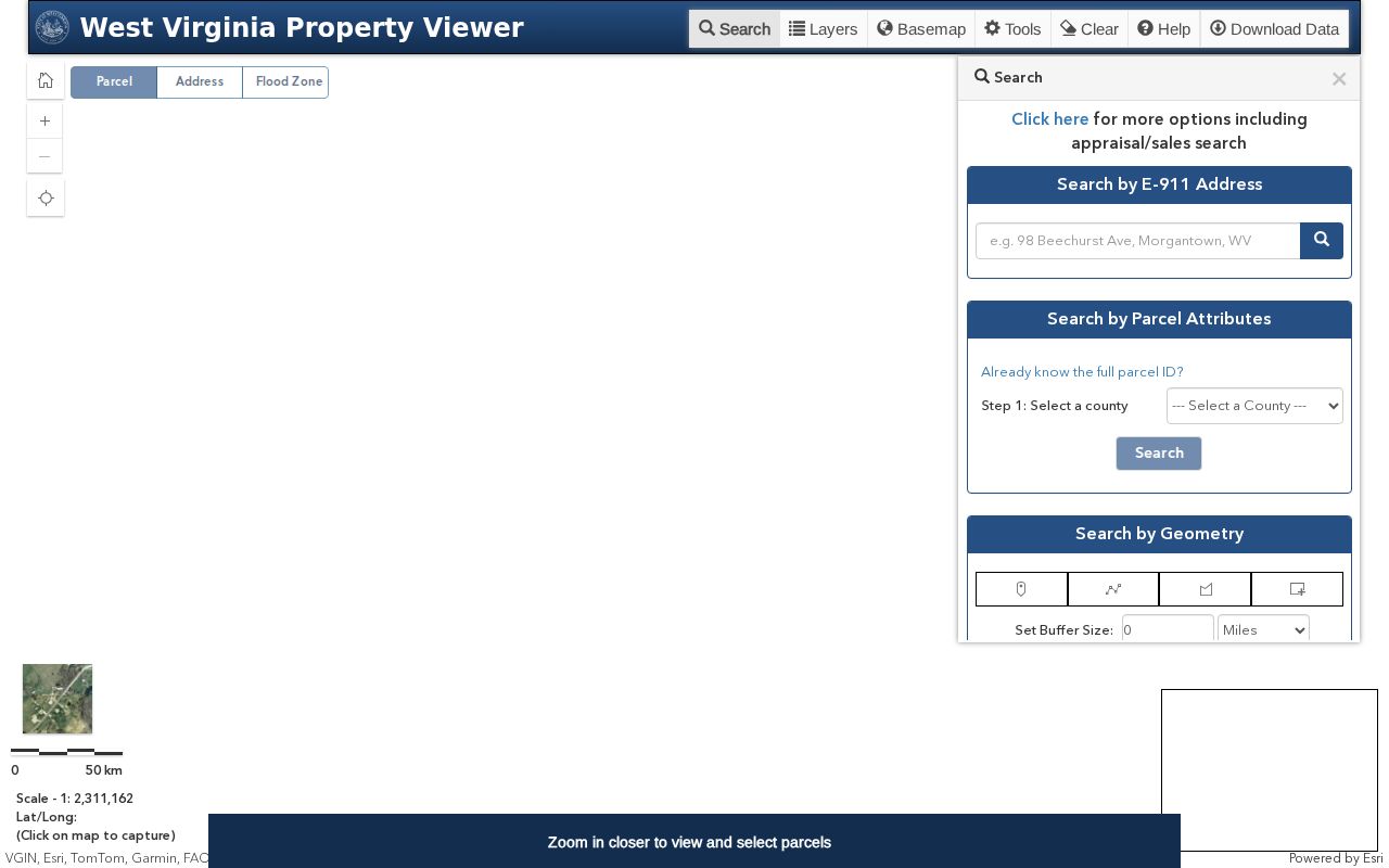
Let a selected parcel bridge you to the assessor and County Clerk records. Save the scale and parcel ID with your notes.
Mason County Map Search Tools
The viewer offers several search paths. Choices include E-911 address search, parcel-attribute search, geometry selection, and coordinate search. Geometry tools accept a point, rectangle, or polygon with an optional buffer. A buffer is drawn distance, not legal setback. Results cap at 1,000 and export as CSV. So trim a large area before exporting.
For an address, E-911 is the precise situs route. The assessor's IAS street-name search fills in when address data runs thin. A known parcel can be found by its full ID or by map components. Outlines get clear near 1:18,056 scale. So zoom and select before copying nearby IDs.
The sample parcel detail shows the selected-record link. Master parcel files rebuild yearly from county assessor GIS files and IAS attributes. Fresh files do not mean fresh deeds.
A parcel detail links geometry to assessor attributes. Keep that snapshot separate from the deed records behind it.
Mason County Parcel ID Parts
West Virginia parcel numbers run district, map, parcel, then suffix. The district takes two digits. Map, parcel, and suffix take four digits apiece, zeroes included. A sample viewer URL holds a full identifier. Always use the exact Mason ID for your subject property. The assessor search takes a full ID or parts.
- District
- Two digits that identify the tax district.
- Map
- Four digits for the map segment within that district.
- Parcel
- Four digits for the assessor parcel record.
- Suffix
- Four digits that distinguish a parcel component.
- Community boundary
- A municipal reference layer; it does not define title or tax district.
Keep every leading zero when you copy an ID. Historic deeds may cite other labels. Ask the Assessor how an old district or map label relates to the current parcel, and keep both references in your request.
Mason County Reference Layers
Flood zones, contours, streams, highway routes, and USGS quadrangles give a parcel its setting. Community boundaries help you compare a point with Point Pleasant, New Haven, or Mason town. Tax districts show a different geography. Neither a mailing city nor a ZIP code proves incorporation. The Ohio and Kanawha rivers make that map context useful, not conclusive.
The delinquent-land layer updates weekly, per viewer documentation. That timing covers the layer alone. It says nothing about the freshness of a deed, the assessor owner field, a flood classification, or a municipal boundary. Use it as a cue.
Documented layers also include tax districts, address labels, flood zones, contours, community boundaries, quadrangles, streams, place names, highways, and survey marks. Parcel geometry mixes here with context from other sources. A line on screen is never a recorded boundary. Save the layer names and map scale with a note on what you checked. Labels can guide your next request.
The viewer layer list documents the property, tax-district, delinquent, flood, and reference layers. It names each source outright.
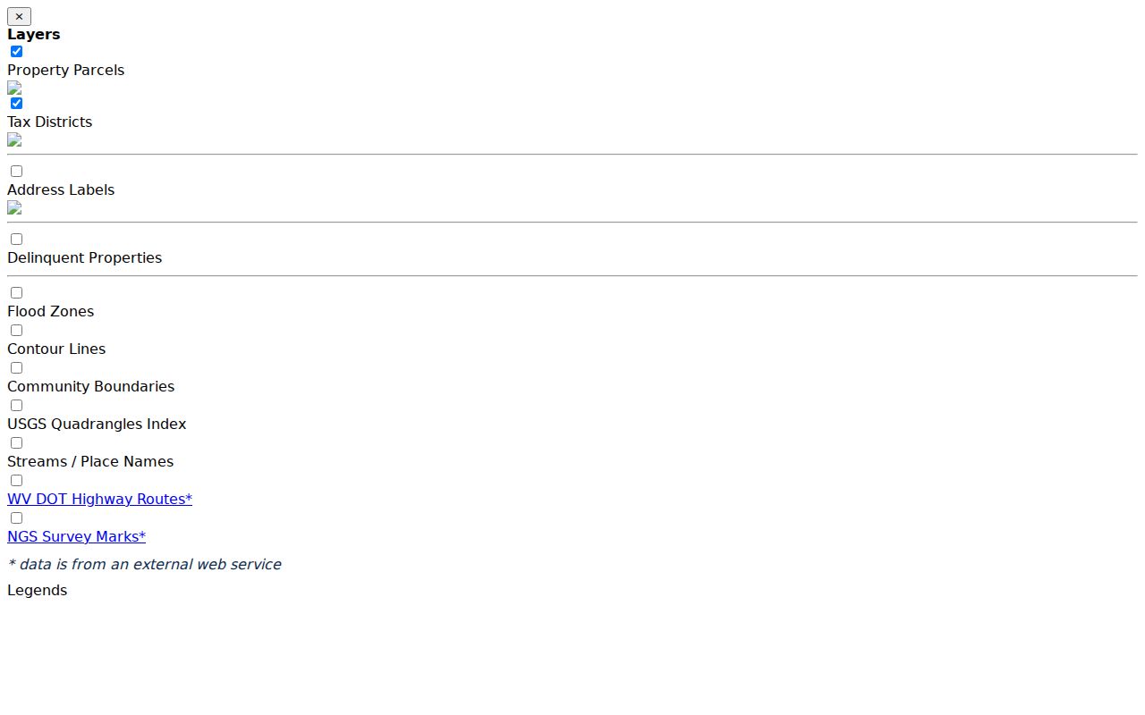
Each office remains the source for its own record.
Mason County Tax Map PDFs
Mason County keeps its tax maps in a PDF archive. The WV GIS Technical Center clearinghouse hosts the archive, including a 2023 set. Each file carries an assessor ownership and reproduction notice. Treat the maps as reference material, not data you can redistribute freely. A parcel label, district number, or map sheet may appear in an older deed reference. That makes it easy to check against them.
A tax map is not a recorded plat. A deed may name a subdivision, lot, or block. In that case, ask the County Clerk for the filed plat book and page. Some parcels were combined over time. Suffixes sometimes drop off. The Assessor can tell you which current parcel number replaced an older reference.
The WV GIS tax-map archive holds the county PDF map products.
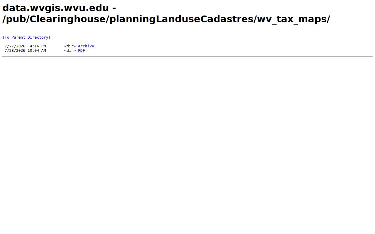
Use the PDF to get oriented. Cite the County Clerk's recorded plat whenever you need the legal subdivision document itself.
Find a Mason Parcel by Address
Start with the street address in the WV Property Viewer E-911 search. Rural routes, PO boxes, and partial street strings often fail there. Try the street name in the Mason County IAS search instead. Pick the likely result. Zoom to the parcel. Then confirm the physical address and parcel ID. Check both against the detail panel. Never treat the owner's mailing address as the parcel location.
- Search the exact address in E-911, then use IAS by street name if the first mode returns no match.
- Zoom until parcel outlines are selectable and compare address labels, district, and community boundaries.
- Copy the complete district-map-parcel-suffix ID and note the map scale.
- Open parcel detail and compare the owner, acreage, and legal description with assessor data.
- Request the deed or recorded plat from the County Clerk if a legal description or lot boundary is at issue.
The map works best as an index to other records. When an address straddles a river edge, town line, or long rural road segment, search by owner of record or parcel number instead.
- Parcel number
- The assessor and map key for a tax parcel.
- Plat
- A recorded subdivision map held by the Clerk.
- Lot and block
- A platted description that identifies a specific filed lot.
- Metes and bounds
- A written boundary description using distances, directions, and calls.
- Easement
- A recorded right to use part of land for a stated purpose.
Mason County Map and Deed
A Mason County deed can describe land several ways. It may cite acreage, lot and block, metes and bounds, adjoining owners, or an earlier instrument. Assessor detail often lists deeded acreage and calculated acreage as separate fields. If the two figures disagree, copy the deed description. Then ask the County Clerk for the actual document by book and page. Never let a tidy GIS shape stand in for the written description.
The local deed series begins in 1804. The county publishes no stated online index cutoff. The Record Room can say whether an older map, plat, or chain reference sits in a paper book, on microfilm, or on a terminal. A map shows today's parcel arrangement. An old deed explains how it came to be.
Limits of a Mason County Map
A Mason County parcel map helps you locate a tax parcel and nothing more. Its geometry is only a reference layer. The viewer itself directs users to contact the local Assessor about errors. A map line proves no legal boundary and no ownership. It proves no flood insurance status either. It shows no easement location. The deeded acreage and legal description stay central to the conveyance record.
Not a survey. GIS parcel lines are for tax and map reference. For a disputed Mason County boundary or a building near a line, use the deed, recorded plat, and a licensed surveyor rather than a screen measurement.
Measure and buffer tools estimate distances and areas from GIS geometry. Take the numbers as rough. A saved share link preserves a view, not a legal status. Print a map to help explain a question at the counter. For proof, request the deed, plat, or survey record.